 vesseltracker.com
 SINO STAR
Current Status
Where is the vessel?
SINO STAR is currently in 36 nm E of Dibba, based on AIS data received about 87d ago.
Latest AIS update:
Current position: 25.81671° N, 56.89421° E (36 nm E of Dibba)
Average speed (last 7 days): Loading…
Average speed (last 30 days): Loading…
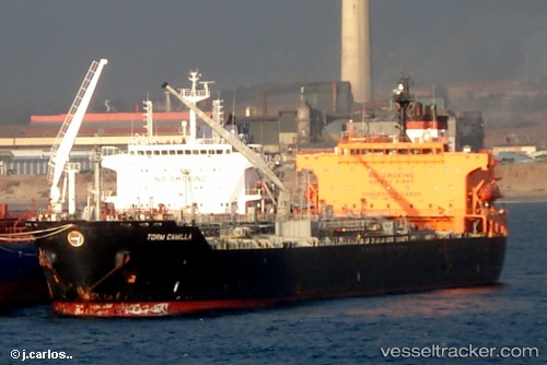
Vessel profile: SINO STAR is a Chemical/Oil Products Tanker with dimensions 182m x 32m.
This page combines live AIS, route history, probable destination signals, nearby traffic, and port activity for practical vessel monitoring.
The current position of vessel SINO STAR is 25.81671 lat / 56.89421 lng. Updated: 2026-01-21 05:58:50 UTCNearest reference points:
- 34 nm NE of Offshore Fujairah
- 30 nm NE of Offshore Fujairah
- 29 nm NE of Offshore Fujairah
Currently sailing under the flag of Hong Kong, China ![]()
SINO STAR built in 2003 year
Deadweight:
46219 tDetails:
Live Vessel SINO STAR Analytics (details, animations, etc.)
Recent AIS points (UTC):
2026-01-21 05:58:50 UTC · 25.81671, 56.89421 · SOG 0.2 kn · COG 94°