 vesseltracker.com
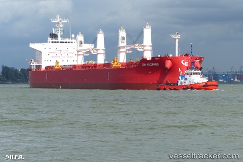
 NOOTKA ISLAND
Current Status
Where is the vessel?
NOOTKA ISLAND is currently in 104 nm SE of Offshore Ambrose, based on AIS data received about 88d ago.
Latest AIS update:
Current position: 38.61167° N, 71.11167° W (104 nm SE of Offshore Ambrose)
Average speed (last 7 days): Loading…
Average speed (last 30 days): Loading…
Vessel profile: NOOTKA ISLAND is a Bulk Carrier with dimensions 32m x 200m.
This page combines live AIS, route history, probable destination signals, nearby traffic, and port activity for practical vessel monitoring.
The current position of vessel NOOTKA ISLAND is 38.61167 lat / -71.11167 lng. Updated: 2026-01-21 09:07:02 UTCNearest reference points:
- 114 nm SE of Offshore Ambrose
- 126 nm SE of Offshore Ambrose
- 187 nm SE of Offshore Ambrose
Currently sailing under the flag of Hong Kong, China ![]()
NOOTKA ISLAND built in 2015 year
Deadweight:
61593 tDetails:
Live Vessel NOOTKA ISLAND Analytics (details, animations, etc.)
Recent AIS points (UTC):
2026-01-21 09:07:02 UTC · 38.61167, -71.11167 · SOG 10 kn · COG -1°