 vesseltracker.com
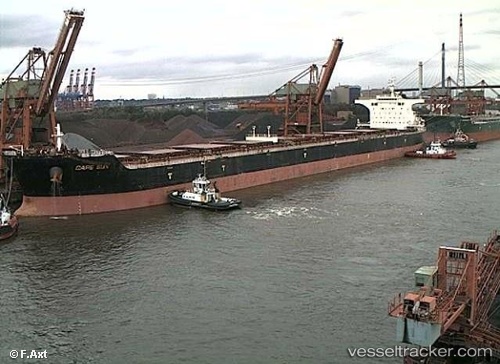
Cape Sun
Current StatusWhere is the vessel?
Cape Sun is currently in 34 nm W of Kommetjie, based on AIS data received about 2h ago.
Latest AIS update:
Current position: 34.10167° S, 17.62500° E (34 nm W of Kommetjie)
Average speed (last 7 days): Loading…
Average speed (last 30 days): Loading…
Vessel profile: Cape Sun is a Bulk Carrier with dimensions 46m x 292m.
This page combines live AIS, route history, probable destination signals, nearby traffic, and port activity for practical vessel monitoring.
The current position of vessel Cape Sun is -34.10167 lat / 17.62500 lng. Updated: 2026-04-13 05:39:39 UTCNearest reference points:
- 12 nm W of ROBBEN ISLAND
- 18 nm SW of Cape Of Good Hope
- Near HOUT BAY
Details:
Live Vessel Cape Sun Analytics (details, animations, etc.)
Recent AIS points (UTC):
2026-04-12 23:32:43 UTC · -33.35274, 16.77966 · SOG 9.2 kn · COG 142°2026-04-13 01:24:53 UTC · -33.56849, 17.02139 · SOG 9.6 kn · COG 143°
2026-04-13 04:01:44 UTC · -33.89650, 17.38991 · SOG 10.6 kn · COG 133°
2026-04-13 05:39:39 UTC · -34.10167, 17.62500 · SOG 10 kn · COG -1°