 vesseltracker.com
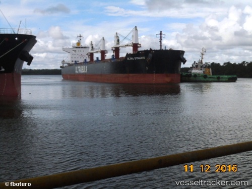
 SILHOUETTE ISLAND
Current Status
Where is the vessel?
SILHOUETTE ISLAND is currently in 275 nm N of Wake Island, based on AIS data received about 1h ago.
Latest AIS update:
Current position: 23.77950° N, 167.57726° E (275 nm N of Wake Island)
Average speed (last 7 days): Loading…
Average speed (last 30 days): Loading…
Vessel profile: SILHOUETTE ISLAND is a Bulk Carrier with dimensions m x m.
This page combines live AIS, route history, probable destination signals, nearby traffic, and port activity for practical vessel monitoring.
The current position of vessel SILHOUETTE ISLAND is 23.77950 lat / 167.57726 lng. Updated: 2026-04-19 19:36:24 UTCNearest reference points:
- Open sea, approx. 401 nm off the nearest listed port
- Open sea (no nearby ports in database)
- Open sea, approx. 414 nm off the nearest listed port
Currently sailing under the flag of Hong Kong ![]()
Details:
Live Vessel SILHOUETTE ISLAND Analytics (details, animations, etc.)
Recent AIS points (UTC):
2026-04-19 15:22:27 UTC · 23.78648, 168.24870 · SOG 8.9 kn · COG 263°2026-04-19 16:59:08 UTC · 23.78445, 167.99765 · SOG 8.6 kn · COG 267°
2026-04-19 17:40:23 UTC · 23.78289, 167.88980 · SOG 8.9 kn · COG 271°
2026-04-19 19:36:24 UTC · 23.77950, 167.57726 · SOG 9.3 kn · COG 268°