 vesseltracker.com
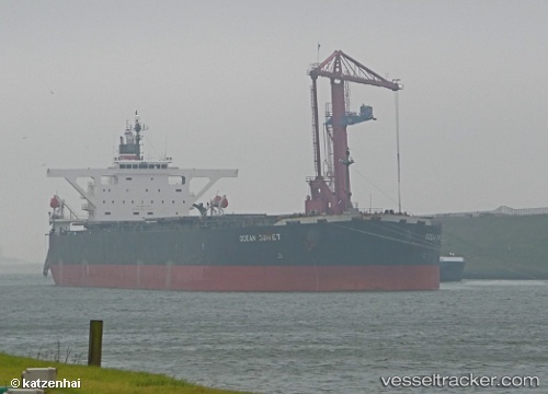
 ES BLUE SEA
Current Status
Where is the vessel?
ES BLUE SEA is currently in 159 nm E of Al Azaiba, based on AIS data received about 1h ago.
Latest AIS update:
Current position: 23.87177° S, 61.40332° E (159 nm E of Al Azaiba)
Average speed (last 7 days): Loading…
Average speed (last 30 days): Loading…
Vessel profile: ES BLUE SEA is a Bulk Carrier with dimensions m x m.
This page combines live AIS, route history, probable destination signals, nearby traffic, and port activity for practical vessel monitoring.
The current position of vessel ES BLUE SEA is -23.87177 lat / 61.40332 lng. Updated: 2026-04-02 05:26:22 UTCCurrently sailing under the flag of Hong Kong ![]()
Details:
Live Vessel ES BLUE SEA Analytics (details, animations, etc.)
Recent AIS points (UTC):
2026-04-01 23:18:44 UTC · -24.10712, 60.51805 · SOG 8.1 kn · COG 68°2026-04-02 02:02:01 UTC · -23.99735, 60.90512 · SOG 8.3 kn · COG 73°
2026-04-02 04:15:42 UTC · -23.91615, 61.23082 · SOG 8.3 kn · COG 70°
2026-04-02 05:26:22 UTC · -23.87177, 61.40332 · SOG 8.4 kn · COG 75°