 vesseltracker.com
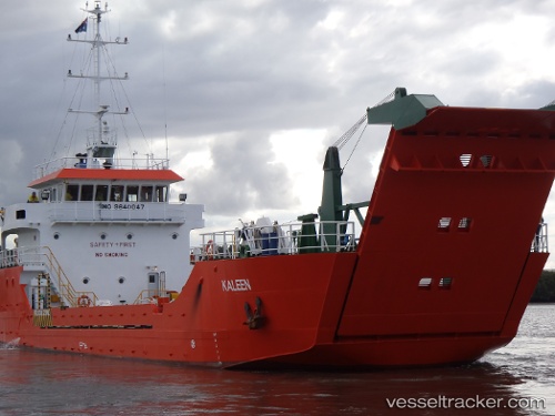
 Karribi
Current Status
Where is the vessel?
Karribi is currently in 22 nm S of Yampi Sound, based on AIS data received about 2h ago.
Latest AIS update:
Current position: 16.49023° S, 123.53053° E (22 nm S of Yampi Sound)
Average speed (last 7 days): Loading…
Average speed (last 30 days): Loading…
Vessel profile: Karribi is a Landing Craft with dimensions 46m x 11m.
This page combines live AIS, route history, probable destination signals, nearby traffic, and port activity for practical vessel monitoring.
The current position of vessel Karribi is -16.49023 lat / 123.53053 lng. Updated: 2026-03-30 06:45:06 UTCNearest reference points:
- 23 nm E of Yampi Sound
Currently sailing under the flag of Australia ![]()
Karribi built in 2009 year
Deadweight:
461 tDetails:
Live Vessel Karribi Analytics (details, animations, etc.)
Recent AIS points (UTC):
2026-03-30 02:34:11 UTC · -16.49274, 123.53575 · SOG 0 kn · COG 259°2026-03-30 04:05:35 UTC · -16.49297, 123.53564 · SOG 0 kn · COG 277°
2026-03-30 04:10:36 UTC · -16.49295, 123.53563 · SOG 0 kn · COG 278°
2026-03-30 06:45:06 UTC · -16.49023, 123.53053 · SOG 0 kn · COG 73°