 vesseltracker.com
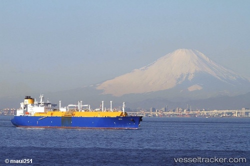
Amali
Current StatusWhere is the vessel?
Amali is currently in 41 nm W of Tindalo Oil Field, based on AIS data received about 2h ago.
Latest AIS update:
Current position: 11.30696° N, 118.24416° E (41 nm W of Tindalo Oil Field)
Average speed (last 7 days): Loading…
Average speed (last 30 days): Loading…
Vessel profile: Amali is a Lng Tanker with dimensions 44m x 284m.
This page combines live AIS, route history, probable destination signals, nearby traffic, and port activity for practical vessel monitoring.
The current position of vessel Amali is 11.30696 lat / 118.24416 lng. Updated: 2026-04-17 16:06:37 UTCNearest reference points:
- 43 nm W of Malampaya
- 65 nm NW of Malampaya
- 70 nm W of Puerto Princesa
Details:
Live Vessel Amali Analytics (details, animations, etc.)
Recent AIS points (UTC):
2026-04-17 11:59:40 UTC · 10.14852, 117.86336 · SOG 18.5 kn · COG 38°2026-04-17 13:39:15 UTC · 10.57927, 118.10828 · SOG 18.2 kn · COG 12°
2026-04-17 13:47:03 UTC · 10.61820, 118.11507 · SOG 18.1 kn · COG 12°
2026-04-17 16:06:37 UTC · 11.30696, 118.24416 · SOG 17.7 kn · COG 12°