 vesseltracker.com
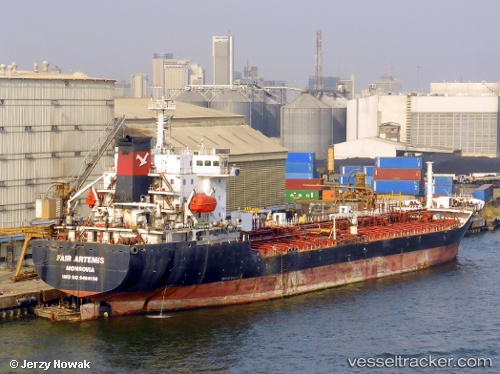
 ARIHANT
Current Status
Where is the vessel?
ARIHANT is currently in Near PANAMBUR, based on AIS data received about 1h ago.
Latest AIS update:
Current position: 12.93487° N, 74.81644° E (Near PANAMBUR)
Average speed (last 7 days): Loading…
Average speed (last 30 days): Loading…
Vessel profile: ARIHANT is a Chemical/Oil Products Tanker with dimensions 22m x 135m.
This page combines live AIS, route history, probable destination signals, nearby traffic, and port activity for practical vessel monitoring.
The current position of vessel ARIHANT is 12.93487 lat / 74.81644 lng. Updated: 2026-04-20 01:34:31 UTCNearest reference points:
- Near PANAMBUR
- Near Mangalore
- 17 nm NW of Panamburu
Currently sailing under the flag of Palau (Republic of) ![]()
ARIHANT built in 2009 year
Deadweight:
12807 tDetails:
Live Vessel ARIHANT Analytics (details, animations, etc.)
Recent AIS points (UTC):
2026-04-19 22:52:34 UTC · 12.93487, 74.81644 · SOG 0 kn · COG 173°2026-04-19 22:52:34 UTC · 12.93487, 74.81644 · SOG 0 kn · COG 173°
2026-04-20 01:31:32 UTC · 12.93491, 74.81646 · SOG 0 kn · COG 173°
2026-04-20 01:34:31 UTC · 12.93487, 74.81644 · SOG 0 kn · COG 173°