 vesseltracker.com
 BENIGANE
Current Status
Where is the vessel?
BENIGANE is currently in Near Ashdod Bonded, based on AIS data received about 2h ago.
Latest AIS update:
Current position: 31.82706° N, 34.64563° E (Near Ashdod Bonded)
Average speed (last 7 days): Loading…
Average speed (last 30 days): Loading…
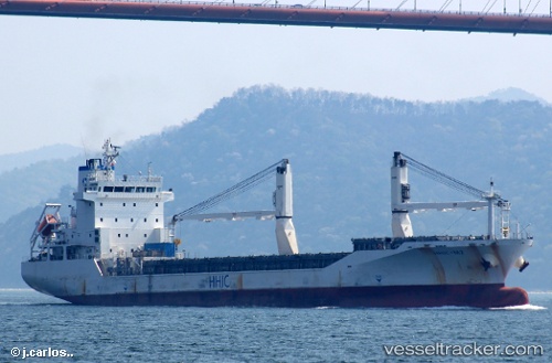
Vessel profile: BENIGANE is a General Cargo Ship with dimensions 20m x 130m.
This page combines live AIS, route history, probable destination signals, nearby traffic, and port activity for practical vessel monitoring.
The current position of vessel BENIGANE is 31.82706 lat / 34.64563 lng. Updated: 2026-03-31 07:44:32 UTCNearest reference points:
- Near Haifa
- Near AL ARISH
- 22 nm W of Haifa Granaries
Currently sailing under the flag of Palau (Republic of) ![]()
BENIGANE built in 2008 year
Deadweight:
11981 tDetails:
Live Vessel BENIGANE Analytics (details, animations, etc.)
Recent AIS points (UTC):
2026-03-31 01:37:36 UTC · 31.82706, 34.64562 · SOG 0 kn · COG -1°2026-03-31 03:08:44 UTC · 31.82706, 34.64562 · SOG 0 kn · COG -1°
2026-03-31 03:08:44 UTC · 31.82706, 34.64562 · SOG 0 kn · COG -1°
2026-03-31 07:44:32 UTC · 31.82706, 34.64563 · SOG 0 kn · COG 115°