 vesseltracker.com
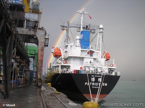
 K HAK
K HAK
Current Status
Where is the vessel?
K HAK is currently in 14 nm NE of Akhtopol, based on AIS data received about 2h ago.
Latest AIS update:
Current position: 42.23420° N, 28.21757° E (14 nm NE of Akhtopol)
Average speed (last 7 days): Loading…
Average speed (last 30 days): Loading…
Vessel profile: K HAK is a General Cargo with dimensions m x m.
This page combines live AIS, route history, probable destination signals, nearby traffic, and port activity for practical vessel monitoring.
The current position of vessel K HAK is 42.23420 lat / 28.21757 lng. Updated: 2026-04-21 09:24:28 UTCNearest reference points:
- Near IGNEADA
- 38 nm E of IGNEADA
- 20 nm SE of Varna
Currently sailing under the flag of Palau ![]()
Details:
Live Vessel K HAK Analytics (details, animations, etc.)
Recent AIS points (UTC):
2026-04-21 05:58:37 UTC · 41.65403, 28.63350 · SOG 11.8 kn · COG 308°2026-04-21 07:14:49 UTC · 41.83449, 28.40594 · SOG 12 kn · COG 342°
2026-04-21 07:14:49 UTC · 41.83449, 28.40594 · SOG 12 kn · COG 342°
2026-04-21 09:24:28 UTC · 42.23420, 28.21757 · SOG 11.7 kn · COG 344°