 vesseltracker.com
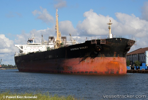
 TELESTO
Current Status
Where is the vessel?
TELESTO is currently in Near Amuay, based on AIS data received less than 1h ago.
Latest AIS update:
Current position: 11.74644° N, 70.21673° W (Near Amuay)
Average speed (last 7 days): Loading…
Average speed (last 30 days): Loading…
Vessel profile: TELESTO is a Crude Oil Tanker with dimensions m x m.
This page combines live AIS, route history, probable destination signals, nearby traffic, and port activity for practical vessel monitoring.
The current position of vessel TELESTO is 11.74644 lat / -70.21673 lng. Updated: 2026-04-17 17:40:41 UTCNearest reference points:
- Near Las Piedras
- 24 nm NW of Palm Beach
- Near Bullenbaai
Currently sailing under the flag of Palau ![]()
Details:
Live Vessel TELESTO Analytics (details, animations, etc.)
Recent AIS points (UTC):
2026-04-17 12:16:29 UTC · 11.74644, -70.21671 · SOG 0 kn · COG -1°2026-04-17 13:56:42 UTC · 11.74645, -70.21671 · SOG 0 kn · COG -1°
2026-04-17 15:22:35 UTC · 11.74645, -70.21673 · SOG 0 kn · COG -1°
2026-04-17 17:40:41 UTC · 11.74644, -70.21673 · SOG 0 kn · COG -1°