 vesseltracker.com
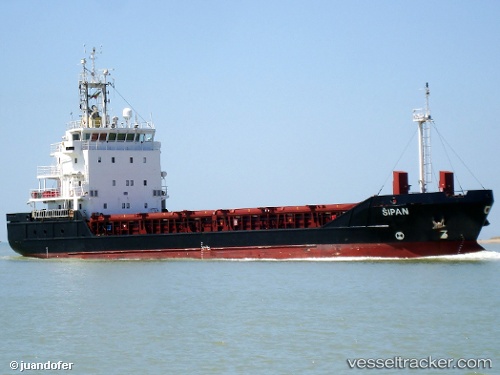
 RANGITATA
Current Status
Where is the vessel?
RANGITATA is currently in Near Seaview, based on AIS data received about 1d ago.
Latest AIS update:
Current position: 39.47500° S, 176.91833° E (Near Seaview)
Average speed (last 7 days): Loading…
Average speed (last 30 days): Loading…
Vessel profile: RANGITATA is a General Cargo with dimensions m x m.
This page combines live AIS, route history, probable destination signals, nearby traffic, and port activity for practical vessel monitoring.
The current position of vessel RANGITATA is -39.47500 lat / 176.91833 lng. Updated: 2026-04-10 07:39:57 UTCCurrently sailing under the flag of New Zealand ![]()
Details:
Live Vessel RANGITATA Analytics (details, animations, etc.)
Recent AIS points (UTC):
2026-04-10 01:48:09 UTC · -39.47615, 176.91843 · SOG 0 kn · COG 3°2026-04-10 04:06:57 UTC · -39.47500, 176.91833 · SOG 0 kn · COG -1°
2026-04-10 05:42:58 UTC · -39.47500, 176.91833 · SOG 0 kn · COG -1°
2026-04-10 07:39:57 UTC · -39.47500, 176.91833 · SOG 0 kn · COG -1°