 vesseltracker.com
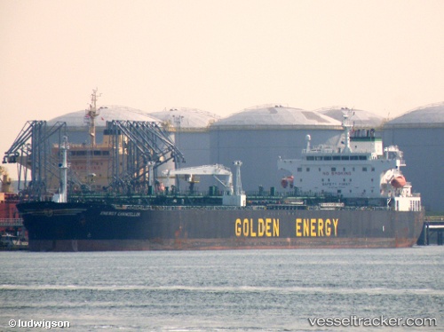
 OCEAN PRIDE
Current Status
Where is the vessel?
OCEAN PRIDE is currently in 51 nm SW of GENERAL SANTOS, based on AIS data received about 1h ago.
Latest AIS update:
Current position: 5.63902° N, 124.45112° E (51 nm SW of GENERAL SANTOS)
Average speed (last 7 days): Loading…
Average speed (last 30 days): Loading…
Vessel profile: OCEAN PRIDE is a Tanker with dimensions m x m.
This page combines live AIS, route history, probable destination signals, nearby traffic, and port activity for practical vessel monitoring.
The current position of vessel OCEAN PRIDE is 5.63902 lat / 124.45112 lng. Updated: 2026-04-16 14:09:06 UTCNearest reference points:
- Near DICT / SVT
- 48 nm N of Melonguanne
- 14 nm SE of Zamboanga
Currently sailing under the flag of Cook Islands ![]()
Details:
Live Vessel OCEAN PRIDE Analytics (details, animations, etc.)
Recent AIS points (UTC):
2026-04-16 06:23:59 UTC · 6.47467, 122.89747 · SOG 13.7 kn · COG 120°2026-04-16 09:24:59 UTC · 6.14827, 123.50420 · SOG 13.8 kn · COG 121°
2026-04-16 11:36:57 UTC · 5.91807, 123.94905 · SOG 13.3 kn · COG 120°
2026-04-16 14:09:06 UTC · 5.63902, 124.45112 · SOG 13.8 kn · COG 120°