 vesseltracker.com
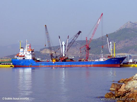
Vessel Doganay IMO: 8876584, MMSI: 518857000 General Cargo Ship
UTC, 43.50911, 13.85201, course: 144, speed: 8.3
UTC, 43.20667, 14.17667, course: -1, speed: 8
2026-02-19 23:32:43 UTC, 43.08333, 14.31667, course: -1, speed: 7
Live AIS position:
UTC. 20 nm E of SAN BENEDETTO DEL TR),
updated 2026-02-19 23:32:43 UTC.
Find the position of the vessel Doganay on the map. The latter are known coordinates and path.
marine traffic ship tracker show on live map
The current position of vessel Doganay is 43.08333 lat / 14.31667 lng. Updated: 2026-02-19 23:32:43 UTCDetails:
Last coordinates of the vessel:
UTC, 43.65440, 13.58648, course: 82, speed: 8.7UTC, 43.50911, 13.85201, course: 144, speed: 8.3
UTC, 43.20667, 14.17667, course: -1, speed: 8
2026-02-19 23:32:43 UTC, 43.08333, 14.31667, course: -1, speed: 7