 vesseltracker.com
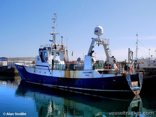
 AKANUI
Current Status
Where is the vessel?
AKANUI is currently in Near Talcahuano, based on AIS data received less than 1h ago.
Latest AIS update:
Current position: 36.69500° S, 73.09833° W (Near Talcahuano)
Average speed (last 7 days): Loading…
Average speed (last 30 days): Loading…
Vessel profile: AKANUI is a Fishing Vessel with dimensions 7m x 38m.
This page combines live AIS, route history, probable destination signals, nearby traffic, and port activity for practical vessel monitoring.
The current position of vessel AKANUI is -36.69500 lat / -73.09833 lng. Updated: 2026-04-01 16:06:34 UTCNearest reference points:
- Near Arauco
- 28 nm W of Pichilemu
Currently sailing under the flag of Cook islands ![]()
AKANUI built in 1963 year
Deadweight:
0 tDetails:
Live Vessel AKANUI Analytics (details, animations, etc.)
Recent AIS points (UTC):
2026-04-01 10:06:34 UTC · -36.69500, -73.09833 · SOG 0 kn · COG -1°2026-04-01 11:26:37 UTC · -36.69530, -73.09991 · SOG 0 kn · COG 224°
2026-04-01 13:38:41 UTC · -36.69536, -73.09990 · SOG 0 kn · COG 20°
2026-04-01 16:06:34 UTC · -36.69500, -73.09833 · SOG 0 kn · COG -1°