 vesseltracker.com
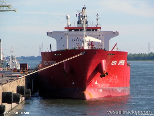
 ARS ROBERTA
Current Status
Where is the vessel?
ARS ROBERTA is currently in 289 nm S of Mawella, based on AIS data received about 1h ago.
Latest AIS update:
Current position: 1.45217° N, 82.35388° E (289 nm S of Mawella)
Average speed (last 7 days): Loading…
Average speed (last 30 days): Loading…
Vessel profile: ARS ROBERTA is a Oil/Chemical Tanker with dimensions m x m.
This page combines live AIS, route history, probable destination signals, nearby traffic, and port activity for practical vessel monitoring.
The current position of vessel ARS ROBERTA is 1.45217 lat / 82.35388 lng. Updated: 2026-04-13 06:13:13 UTCNearest reference points:
- Open sea, approx. 401 nm off the nearest listed port
- Open sea, approx. 405 nm off the nearest listed port
- 321 nm S of Matara
Currently sailing under the flag of Cook Islands ![]()
Details:
Live Vessel ARS ROBERTA Analytics (details, animations, etc.)
Recent AIS points (UTC):
2026-04-12 23:40:22 UTC · 0.40118, 82.32610 · SOG 9.4 kn · COG 359°2026-04-13 01:17:20 UTC · 0.65852, 82.32820 · SOG 9.6 kn · COG 358°
2026-04-13 02:36:23 UTC · 0.87262, 82.33867 · SOG 9.7 kn · COG 358°
2026-04-13 06:13:13 UTC · 1.45217, 82.35388 · SOG 9.6 kn · COG 0°