 vesseltracker.com
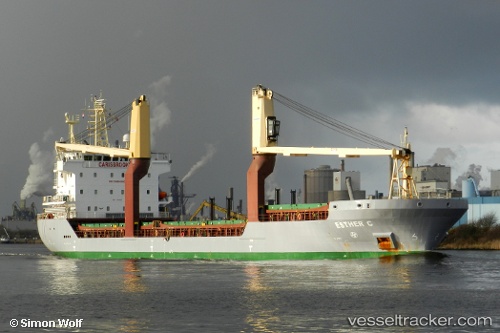
Tembaga Sea
Current StatusWhere is the vessel?
Tembaga Sea is currently in Near Pomako, based on AIS data received about 11h ago.
Latest AIS update:
Current position: 4.82746° S, 136.81221° E (Near Pomako)
Average speed (last 7 days): Loading…
Average speed (last 30 days): Loading…
Vessel profile: Tembaga Sea is a Multi Purpose Carrier with dimensions 18m x 108m.
This page combines live AIS, route history, probable destination signals, nearby traffic, and port activity for practical vessel monitoring.
The current position of vessel Tembaga Sea is -4.82746 lat / 136.81221 lng. Updated: 2026-04-09 13:47:14 UTCNearest reference points:
- 40 nm SE of Pomako
Details:
Live Vessel Tembaga Sea Analytics (details, animations, etc.)
Recent AIS points (UTC):
2026-04-09 13:47:14 UTC · -4.82746, 136.81221 · SOG 0.5 kn · COG 69°2026-04-09 13:47:14 UTC · -4.82746, 136.81221 · SOG 0.5 kn · COG 69°
2026-04-09 13:47:14 UTC · -4.82746, 136.81221 · SOG 0.5 kn · COG 69°
2026-04-09 13:47:14 UTC · -4.82746, 136.81221 · SOG 0.5 kn · COG 69°