 vesseltracker.com
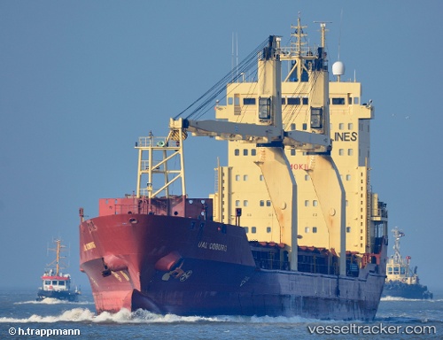
Mv.tanto Bagus
Current StatusWhere is the vessel?
Mv.tanto Bagus is currently in Near Madura Terminal, based on AIS data received about 1h ago.
Latest AIS update:
Current position: 6.88598° S, 112.82377° E (Near Madura Terminal)
Average speed (last 7 days): Loading…
Average speed (last 30 days): Loading…
Vessel profile: Mv.tanto Bagus is a Multi Purpose Carrier with dimensions 19m x 126m.
This page combines live AIS, route history, probable destination signals, nearby traffic, and port activity for practical vessel monitoring.
The current position of vessel Mv.tanto Bagus is -6.88598 lat / 112.82377 lng. Updated: 2026-04-20 02:04:43 UTCNearest reference points:
- 11 nm W of Madura Terminal
- Near Bangkalan
- 10 nm W of Poleng
Details:
Live Vessel Mv.tanto Bagus Analytics (details, animations, etc.)
Recent AIS points (UTC):
2026-04-19 22:56:05 UTC · -6.88586, 112.82368 · SOG 0 kn · COG 108°2026-04-19 23:58:25 UTC · -6.88500, 112.82333 · SOG 0 kn · COG -1°
2026-04-20 02:00:47 UTC · -6.88500, 112.82333 · SOG 0 kn · COG -1°
2026-04-20 02:04:43 UTC · -6.88598, 112.82377 · SOG 0 kn · COG 106°