 vesseltracker.com
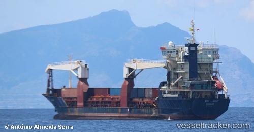
New Light
Current StatusWhere is the vessel?
New Light is currently in 171 nm W of Godhavn, based on AIS data received about 182d ago.
Latest AIS update:
Current position: 69.04969° N, 61.50773° W (171 nm W of Godhavn)
Average speed (last 7 days): Loading…
Average speed (last 30 days): Loading…
Vessel profile: New Light is a Multi Purpose Carrier with dimensions 16m x 97m.
This page combines live AIS, route history, probable destination signals, nearby traffic, and port activity for practical vessel monitoring.
The current position of vessel New Light is 69.04969 lat / -61.50773 lng. Updated: 2025-10-10 10:07:45 UTCDetails:
Live Vessel New Light Analytics (details, animations, etc.)
Recent AIS points (UTC):
2025-10-10 10:07:45 UTC · 69.04969, -61.50773 · SOG 0.7 kn · COG -1°