 vesseltracker.com
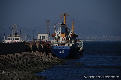
Tanto Lestari
Current StatusWhere is the vessel?
Tanto Lestari is currently in 25 nm SW of BAUBAU, based on AIS data received about 1h ago.
Latest AIS update:
Current position: 5.72381° S, 122.28784° E (25 nm SW of BAUBAU)
Average speed (last 7 days): Loading…
Average speed (last 30 days): Loading…
Vessel profile: Tanto Lestari is a Container Ship with dimensions 20m x 124m.
This page combines live AIS, route history, probable destination signals, nearby traffic, and port activity for practical vessel monitoring.
The current position of vessel Tanto Lestari is -5.72381 lat / 122.28784 lng. Updated: 2026-04-21 10:15:35 UTCNearest reference points:
- Near BAUBAU
- Near Labuan
- 27 nm SW of Kolaka
Details:
Live Vessel Tanto Lestari Analytics (details, animations, etc.)
Recent AIS points (UTC):
2026-04-21 00:28:54 UTC · -5.70258, 120.45035 · SOG 10.5 kn · COG -1°2026-04-21 00:28:54 UTC · -5.70258, 120.45035 · SOG 10.5 kn · COG -1°
2026-04-21 10:14:08 UTC · -5.72356, 122.28325 · SOG 11.1 kn · COG -1°
2026-04-21 10:15:35 UTC · -5.72381, 122.28784 · SOG 11.1 kn · COG -1°