 vesseltracker.com
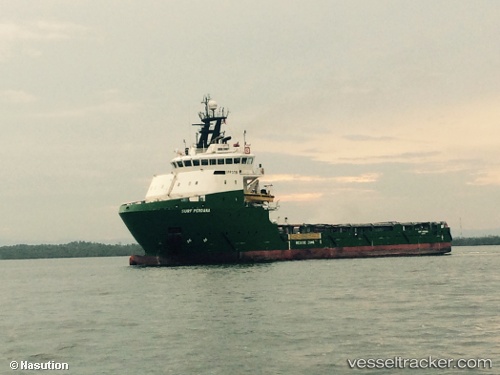
Surf Perdana
Current StatusWhere is the vessel?
Surf Perdana is currently in 14 nm SE of Shinas, based on AIS data received about 608d ago.
Latest AIS update:
Current position: 24.59364° N, 56.66686° E (14 nm SE of Shinas)
Average speed (last 7 days): Loading…
Average speed (last 30 days): Loading…
Vessel profile: Surf Perdana is a Offshore Tug Supply Ship with dimensions 17m x 78m.
This page combines live AIS, route history, probable destination signals, nearby traffic, and port activity for practical vessel monitoring.
The current position of vessel Surf Perdana is 24.59364 lat / 56.66686 lng. Updated: 2024-08-14 14:41:46 UTCNearest reference points:
- 17 nm SE of Shinas
- 18 nm SE of SHINAS
- Near Fujairah
Details:
Live Vessel Surf Perdana Analytics (details, animations, etc.)
Recent AIS points (UTC):
2024-08-14 14:41:46 UTC · 24.59364, 56.66686 · SOG 0.1 kn · COG -1°