 vesseltracker.com
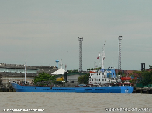
 Berjaya 1
Current Status
Where is the vessel?
Berjaya 1 is currently in Near Plaju, Sumatra, based on AIS data received about 1h ago.
Latest AIS update:
Current position: 2.98075° S, 104.77848° E (Near Plaju, Sumatra)
Average speed (last 7 days): Loading…
Average speed (last 30 days): Loading…
Vessel profile: Berjaya 1 is a General Cargo Ship with dimensions 67m x 11m.
This page combines live AIS, route history, probable destination signals, nearby traffic, and port activity for practical vessel monitoring.
The current position of vessel Berjaya 1 is -2.98075 lat / 104.77848 lng. Updated: 2026-04-18 11:33:01 UTCNearest reference points:
- Near Kertapati
- 36 nm SW of Exspan
- 38 nm SW of PANGKAL BALAM
Currently sailing under the flag of Indonesia ![]()
Berjaya 1 built in 1992 year
Deadweight:
1123 tDetails:
Live Vessel Berjaya 1 Analytics (details, animations, etc.)
Recent AIS points (UTC):
2026-04-18 06:09:01 UTC · -2.98070, 104.77849 · SOG 0 kn · COG -1°2026-04-18 07:48:01 UTC · -2.98072, 104.77846 · SOG 0 kn · COG -1°
2026-04-18 09:42:01 UTC · -2.98073, 104.77848 · SOG 0 kn · COG -1°
2026-04-18 11:33:01 UTC · -2.98075, 104.77848 · SOG 0 kn · COG -1°