 vesseltracker.com
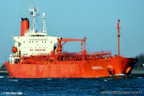
 Nariva
Current Status
Where is the vessel?
Nariva is currently in 13 nm NW of Nipah, based on AIS data received about 1d ago.
Latest AIS update:
Current position: 1.22320° N, 103.35667° E (13 nm NW of Nipah)
Average speed (last 7 days): Loading…
Average speed (last 30 days): Loading…
Vessel profile: Nariva is a Chemical Oil Products Tanker with dimensions 171m x 171m.
This page combines live AIS, route history, probable destination signals, nearby traffic, and port activity for practical vessel monitoring.
The current position of vessel Nariva is 1.22320 lat / 103.35667 lng. Updated: 2026-04-10 08:09:02 UTCNearest reference points:
- Near Tanjungbalai
- 15 nm W of Tanjong Bin
- 19 nm W of Tanjong Bin
Currently sailing under the flag of Indonesia ![]()
Nariva built in 1998 year
Deadweight:
30977 tDetails:
Live Vessel Nariva Analytics (details, animations, etc.)
Recent AIS points (UTC):
2026-04-10 01:39:02 UTC · 1.78625, 102.42032 · SOG 9.6 kn · COG 117°2026-04-10 04:15:02 UTC · 1.60324, 102.80561 · SOG 10.1 kn · COG 122°
2026-04-10 05:57:21 UTC · 1.45267, 103.05320 · SOG 10.3 kn · COG 122°
2026-04-10 08:09:02 UTC · 1.22320, 103.35667 · SOG 10.6 kn · COG 136°