 vesseltracker.com
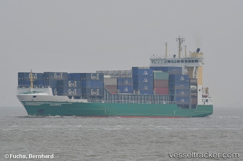
Meratus Mamiri
Current StatusWhere is the vessel?
Meratus Mamiri is currently in Near Makassar, based on AIS data received less than 1h ago.
Latest AIS update:
Current position: 5.09708° S, 119.41544° E (Near Makassar)
Average speed (last 7 days): Loading…
Average speed (last 30 days): Loading…
Vessel profile: Meratus Mamiri is a Container Ship with dimensions 23m x 149m.
This page combines live AIS, route history, probable destination signals, nearby traffic, and port activity for practical vessel monitoring.
The current position of vessel Meratus Mamiri is -5.09708 lat / 119.41544 lng. Updated: 2026-04-08 15:33:51 UTCNearest reference points:
- Near Makassar
- Near Panakukang
- 12 nm W of Panakukang
Details:
Live Vessel Meratus Mamiri Analytics (details, animations, etc.)
Recent AIS points (UTC):
2026-04-05 18:31:36 UTC · -5.82027, 106.94440 · SOG 11 kn · COG 20°2026-04-08 11:27:30 UTC · -5.15723, 119.29182 · SOG 11.5 kn · COG 47°
2026-04-08 13:27:52 UTC · -5.09705, 119.41540 · SOG 0 kn · COG 9°
2026-04-08 15:33:51 UTC · -5.09708, 119.41544 · SOG 0 kn · COG 9°