 vesseltracker.com
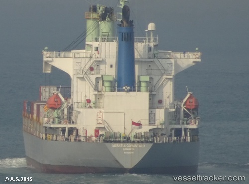
Meratus Gorontalo
Current StatusWhere is the vessel?
Meratus Gorontalo is currently in 29 nm SE of Jorong Anchorage, based on AIS data received about 1h ago.
Latest AIS update:
Current position: 4.58744° S, 115.37607° E (29 nm SE of Jorong Anchorage)
Average speed (last 7 days): Loading…
Average speed (last 30 days): Loading…
Vessel profile: Meratus Gorontalo is a Container Ship with dimensions 26m x 162m.
This page combines live AIS, route history, probable destination signals, nearby traffic, and port activity for practical vessel monitoring.
The current position of vessel Meratus Gorontalo is -4.58744 lat / 115.37607 lng. Updated: 2026-04-14 05:31:15 UTCNearest reference points:
- Near Bunati
- 12 nm SE of Bunati
- 74 nm S of MEKAR PUTIH
Details:
Live Vessel Meratus Gorontalo Analytics (details, animations, etc.)
Recent AIS points (UTC):
2026-04-13 23:38:16 UTC · -4.03167, 116.51667 · SOG 13 kn · COG -1°2026-04-14 01:41:21 UTC · -4.32167, 116.17500 · SOG 13 kn · COG -1°
2026-04-14 03:17:21 UTC · -4.43667, 115.84167 · SOG 13 kn · COG -1°
2026-04-14 05:31:15 UTC · -4.58744, 115.37607 · SOG 13.1 kn · COG -1°