 vesseltracker.com
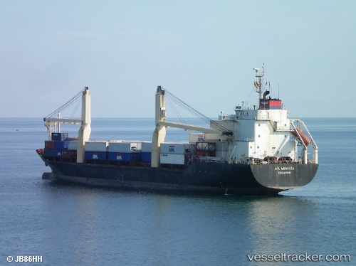
Meratus Kelimutu
Current StatusWhere is the vessel?
Meratus Kelimutu is currently in 65 nm NW of Margomulyo, based on AIS data received about 12h ago.
Latest AIS update:
Current position: 1.05063° N, 120.80065° E (65 nm NW of Margomulyo)
Average speed (last 7 days): Loading…
Average speed (last 30 days): Loading…
Vessel profile: Meratus Kelimutu is a Container Ship with dimensions 23m x 128m.
This page combines live AIS, route history, probable destination signals, nearby traffic, and port activity for practical vessel monitoring.
The current position of vessel Meratus Kelimutu is 1.05063 lat / 120.80065 lng. Updated: 2026-04-13 15:06:11 UTCNearest reference points:
- 41 nm SW of Margomulyo
- 29 nm W of Labuanbajo
- 81 nm E of Muara Pantai
Details:
Live Vessel Meratus Kelimutu Analytics (details, animations, etc.)
Recent AIS points (UTC):
2026-04-13 11:38:55 UTC · 1.04333, 120.78833 · SOG 3 kn · COG -1°2026-04-13 15:06:11 UTC · 1.05063, 120.80065 · SOG 0 kn · COG 42°
2026-04-13 15:06:11 UTC · 1.05063, 120.80065 · SOG 0 kn · COG 42°
2026-04-13 15:06:11 UTC · 1.05063, 120.80065 · SOG 0 kn · COG 42°