 vesseltracker.com
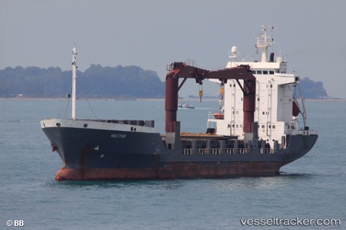
Red Resource
Current StatusWhere is the vessel?
Red Resource is currently in 10 nm N of Palu, based on AIS data received less than 1h ago.
Latest AIS update:
Current position: 0.71107° S, 119.85544° E (10 nm N of Palu)
Average speed (last 7 days): Loading…
Average speed (last 30 days): Loading…
Vessel profile: Red Resource is a Multi Purpose Carrier with dimensions 16m x 100m.
This page combines live AIS, route history, probable destination signals, nearby traffic, and port activity for practical vessel monitoring.
The current position of vessel Red Resource is -0.71107 lat / 119.85544 lng. Updated: 2026-04-15 17:57:38 UTCNearest reference points:
- 39 nm W of Labuanbajo
- 29 nm W of Labuanbajo
- 56 nm SE of Santan Terminal
Details:
Live Vessel Red Resource Analytics (details, animations, etc.)
Recent AIS points (UTC):
2026-04-15 11:45:41 UTC · -0.71094, 119.85544 · SOG 0 kn · COG 301°2026-04-15 13:21:37 UTC · -0.71103, 119.85545 · SOG 0 kn · COG 301°
2026-04-15 15:21:40 UTC · -0.71105, 119.85544 · SOG 0 kn · COG 300°
2026-04-15 17:57:38 UTC · -0.71107, 119.85544 · SOG 0 kn · COG 302°