 vesseltracker.com
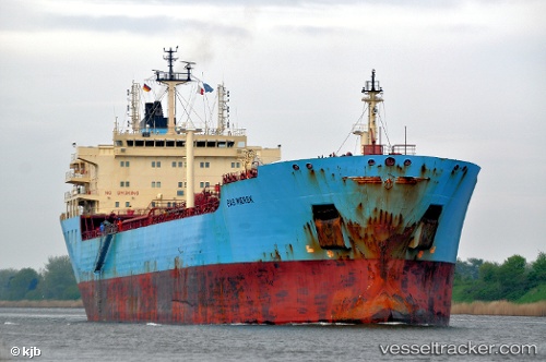
 GRAND POWER
Current Status
Where is the vessel?
GRAND POWER is currently in 42 nm N of Sukatani, based on AIS data received less than 1h ago.
Latest AIS update:
Current position: 5.73667° S, 108.08167° E (42 nm N of Sukatani)
Average speed (last 7 days): Loading…
Average speed (last 30 days): Loading…
Vessel profile: GRAND POWER is a Oil Products Tanker with dimensions m x m.
This page combines live AIS, route history, probable destination signals, nearby traffic, and port activity for practical vessel monitoring.
The current position of vessel GRAND POWER is -5.73667 lat / 108.08167 lng. Updated: 2026-04-07 20:12:16 UTCNearest reference points:
- 31 nm NE of Rengasdengklok
- 25 nm N of Gunungsari
- 19 nm N of Cilincing
Currently sailing under the flag of Indonesia ![]()
Details:
Live Vessel GRAND POWER Analytics (details, animations, etc.)
Recent AIS points (UTC):
2026-04-07 13:34:48 UTC · -5.75048, 106.86070 · SOG 10.8 kn · COG 65°2026-04-07 15:32:31 UTC · -5.73167, 107.20500 · SOG 11 kn · COG -1°
2026-04-07 18:08:55 UTC · -5.73167, 107.68667 · SOG 11 kn · COG -1°
2026-04-07 20:12:16 UTC · -5.73667, 108.08167 · SOG 12 kn · COG -1°