 vesseltracker.com
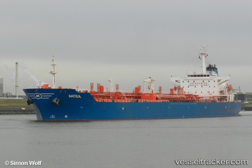
 PRIMA XP
Current Status
Where is the vessel?
PRIMA XP is currently in 65 nm SE of Panakukang, based on AIS data received about 11h ago.
Latest AIS update:
Current position: 5.89277° S, 120.19589° E (65 nm SE of Panakukang)
Average speed (last 7 days): Loading…
Average speed (last 30 days): Loading…
Vessel profile: PRIMA XP is a Oil Products Tanker with dimensions 31m x 175m.
This page combines live AIS, route history, probable destination signals, nearby traffic, and port activity for practical vessel monitoring.
The current position of vessel PRIMA XP is -5.89277 lat / 120.19589 lng. Updated: 2026-04-10 08:28:30 UTCNearest reference points:
- 83 nm SE of Panakukang
- Near Makassar
- Near Panakukang
Currently sailing under the flag of Indonesia ![]()
PRIMA XP built in 2002 year
Deadweight:
40094 tDetails:
Live Vessel PRIMA XP Analytics (details, animations, etc.)
Recent AIS points (UTC):
2026-04-10 00:37:26 UTC · -5.72718, 121.70929 · SOG 12.1 kn · COG 271°2026-04-10 03:33:01 UTC · -5.71545, 121.09641 · SOG 12.9 kn · COG 272°
2026-04-10 04:32:50 UTC · -5.71182, 120.88877 · SOG 12.2 kn · COG 266°
2026-04-10 08:28:30 UTC · -5.89277, 120.19589 · SOG 12 kn · COG 226°