 vesseltracker.com
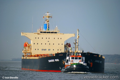
 LUMOSO PRATAMA
Current Status
Where is the vessel?
LUMOSO PRATAMA is currently in 30 nm SW of MEKAR PUTIH, based on AIS data received about 1d ago.
Latest AIS update:
Current position: 4.35435° S, 115.64770° E (30 nm SW of MEKAR PUTIH)
Average speed (last 7 days): Loading…
Average speed (last 30 days): Loading…
Vessel profile: LUMOSO PRATAMA is a Bulk Carrier with dimensions 32m x 225m.
This page combines live AIS, route history, probable destination signals, nearby traffic, and port activity for practical vessel monitoring.
The current position of vessel LUMOSO PRATAMA is -4.35435 lat / 115.64770 lng. Updated: 2026-04-10 06:16:00 UTCNearest reference points:
- Near Bunati
- 12 nm SE of Bunati
- 74 nm S of MEKAR PUTIH
Currently sailing under the flag of Indonesia ![]()
LUMOSO PRATAMA built in 2010 year
Deadweight:
76536 tDetails:
Live Vessel LUMOSO PRATAMA Analytics (details, animations, etc.)
Recent AIS points (UTC):
2026-04-10 01:16:48 UTC · -3.76087, 116.42950 · SOG 12.9 kn · COG 206°2026-04-10 04:01:21 UTC · -4.19562, 116.09088 · SOG 12.6 kn · COG 252°
2026-04-10 05:46:57 UTC · -4.31465, 115.74013 · SOG 12.4 kn · COG 249°
2026-04-10 06:16:00 UTC · -4.35435, 115.64770 · SOG 12.5 kn · COG 249°