 vesseltracker.com
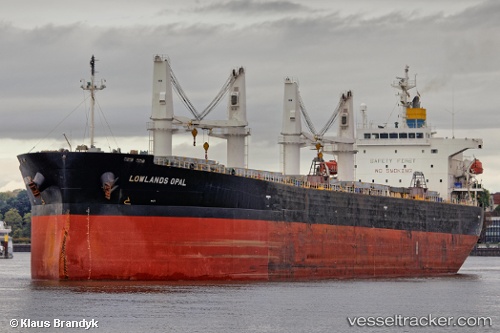
 LUMOSO LANGGENG
Current Status
Where is the vessel?
LUMOSO LANGGENG is currently in 112 nm NE of Pagerungan, based on AIS data received about 3h ago.
Latest AIS update:
Current position: 5.73570° S, 117.36052° E (112 nm NE of Pagerungan)
Average speed (last 7 days): Loading…
Average speed (last 30 days): Loading…
Vessel profile: LUMOSO LANGGENG is a Bulk Carrier with dimensions m x m.
This page combines live AIS, route history, probable destination signals, nearby traffic, and port activity for practical vessel monitoring.
The current position of vessel LUMOSO LANGGENG is -5.73570 lat / 117.36052 lng. Updated: 2026-03-28 07:28:52 UTCNearest reference points:
- 117 nm W of Panakukang
- 74 nm NE of Pagerungan
- 37 nm E of Pagerungan
Currently sailing under the flag of Indonesia ![]()
Details:
Live Vessel LUMOSO LANGGENG Analytics (details, animations, etc.)
Recent AIS points (UTC):
2026-03-28 00:44:01 UTC · -5.27595, 116.32310 · SOG 10.2 kn · COG 140°2026-03-28 03:58:32 UTC · -5.47834, 116.82090 · SOG 10.3 kn · COG -1°
2026-03-28 05:53:43 UTC · -5.61476, 117.12345 · SOG 10 kn · COG -1°
2026-03-28 07:28:52 UTC · -5.73570, 117.36052 · SOG 10.3 kn · COG -1°