 vesseltracker.com
 PRIMA LAUTAN II
Current Status
Where is the vessel?
PRIMA LAUTAN II is currently in 32 nm SW of Sepanjang Terminal, based on AIS data received less than 1h ago.
Latest AIS update:
Current position: 7.39310° S, 115.28293° E (32 nm SW of Sepanjang Terminal)
Average speed (last 7 days): Loading…
Average speed (last 30 days): Loading…
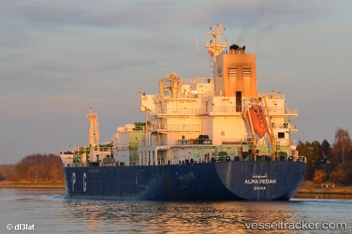
Vessel profile: PRIMA LAUTAN II is a LPG Tanker with dimensions 26m x 164m.
This page combines live AIS, route history, probable destination signals, nearby traffic, and port activity for practical vessel monitoring.
The current position of vessel PRIMA LAUTAN II is -7.39310 lat / 115.28293 lng. Updated: 2026-04-19 12:02:35 UTCNearest reference points:
- 29 nm N of MANGGIS
- 34 nm N of Arjasa
- 37 nm E of Pagerungan
Currently sailing under the flag of Indonesia ![]()
PRIMA LAUTAN II built in 2004 year
Deadweight:
17298 tDetails:
Live Vessel PRIMA LAUTAN II Analytics (details, animations, etc.)
Recent AIS points (UTC):
2026-04-19 07:08:37 UTC · -7.05847, 116.24073 · SOG 12.6 kn · COG 240°2026-04-19 09:37:23 UTC · -7.29823, 115.76197 · SOG 12.8 kn · COG 261°
2026-04-19 10:14:36 UTC · -7.32343, 115.63138 · SOG 12.9 kn · COG 260°
2026-04-19 12:02:35 UTC · -7.39310, 115.28293 · SOG 13.2 kn · COG 264°