 vesseltracker.com
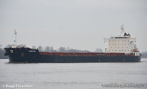
 PRIMA SPIRIT
Current Status
Where is the vessel?
PRIMA SPIRIT is currently in 63 nm NE of Sabahat, based on AIS data received about 1h ago.
Latest AIS update:
Current position: 5.77425° N, 119.81105° E (63 nm NE of Sabahat)
Average speed (last 7 days): Loading…
Average speed (last 30 days): Loading…
Vessel profile: PRIMA SPIRIT is a Bulk Carrier with dimensions m x m.
This page combines live AIS, route history, probable destination signals, nearby traffic, and port activity for practical vessel monitoring.
The current position of vessel PRIMA SPIRIT is 5.77425 lat / 119.81105 lng. Updated: 2026-04-17 19:54:40 UTCNearest reference points:
- 66 nm W of Jolo
- 80 nm SE of Labuan Haji
- 21 nm NW of Zamboanga
Currently sailing under the flag of Indonesia ![]()
Details:
Live Vessel PRIMA SPIRIT Analytics (details, animations, etc.)
Recent AIS points (UTC):
2026-04-17 13:31:25 UTC · 4.52536, 119.65572 · SOG 13.3 kn · COG -1°2026-04-17 15:41:38 UTC · 5.00165, 119.66183 · SOG 12.1 kn · COG -1°
2026-04-17 17:51:50 UTC · 5.41923, 119.73478 · SOG 11.3 kn · COG -1°
2026-04-17 19:54:40 UTC · 5.77425, 119.81105 · SOG 10.7 kn · COG 12°