 vesseltracker.com
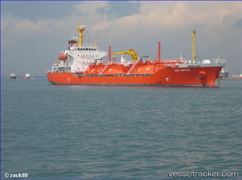
 GAS ROYALE
Current Status
Where is the vessel?
GAS ROYALE is currently in 20 nm N of New Priok Port, based on AIS data received about 2h ago.
Latest AIS update:
Current position: 5.74784° S, 106.88925° E (20 nm N of New Priok Port)
Average speed (last 7 days): Loading…
Average speed (last 30 days): Loading…
Vessel profile: GAS ROYALE is a LPG Tanker with dimensions 106m x 106m.
This page combines live AIS, route history, probable destination signals, nearby traffic, and port activity for practical vessel monitoring.
The current position of vessel GAS ROYALE is -5.74784 lat / 106.88925 lng. Updated: 2026-03-31 03:33:05 UTCNearest reference points:
- 19 nm N of Cilincing
- Near New Priok Port
- Near Jakarta
Currently sailing under the flag of Indonesia ![]()
GAS ROYALE built in 2011 year
Deadweight:
5292 tDetails:
Live Vessel GAS ROYALE Analytics (details, animations, etc.)
Recent AIS points (UTC):
2026-03-30 21:56:55 UTC · -5.83669, 106.10906 · SOG 8.2 kn · COG 92°2026-03-30 23:34:05 UTC · -5.83576, 106.32854 · SOG 8.5 kn · COG 87°
2026-03-31 02:06:15 UTC · -5.83312, 106.68914 · SOG 8.9 kn · COG 67°
2026-03-31 03:33:05 UTC · -5.74784, 106.88925 · SOG 9 kn · COG 67°