 vesseltracker.com
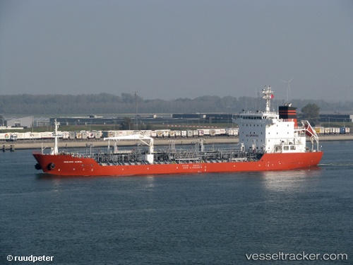
 MARITIM INDONESIA
Current Status
Where is the vessel?
MARITIM INDONESIA is currently in 10 nm E of Balikpapan, based on AIS data received about 1h ago.
Latest AIS update:
Current position: 1.30322° S, 116.97760° E (10 nm E of Balikpapan)
Average speed (last 7 days): Loading…
Average speed (last 30 days): Loading…
Vessel profile: MARITIM INDONESIA is a Chemical/Oil Products Tanker with dimensions 128m x 128m.
This page combines live AIS, route history, probable destination signals, nearby traffic, and port activity for practical vessel monitoring.
The current position of vessel MARITIM INDONESIA is -1.30322 lat / 116.97760 lng. Updated: 2026-04-21 01:36:17 UTCNearest reference points:
- 11 nm SE of Balikpapan
- Near Balikpapan
- Near KARIANGAU
Currently sailing under the flag of Indonesia ![]()
MARITIM INDONESIA built in 2008 year
Deadweight:
13224 tDetails:
Live Vessel MARITIM INDONESIA Analytics (details, animations, etc.)
Recent AIS points (UTC):
2026-04-20 20:45:16 UTC · -1.30282, 116.97558 · SOG 0 kn · COG 85°2026-04-20 23:45:16 UTC · -1.30362, 116.97622 · SOG 0 kn · COG 26°
2026-04-21 01:33:16 UTC · -1.30320, 116.97762 · SOG 0 kn · COG 321°
2026-04-21 01:36:17 UTC · -1.30322, 116.97760 · SOG 0 kn · COG 321°