 vesseltracker.com
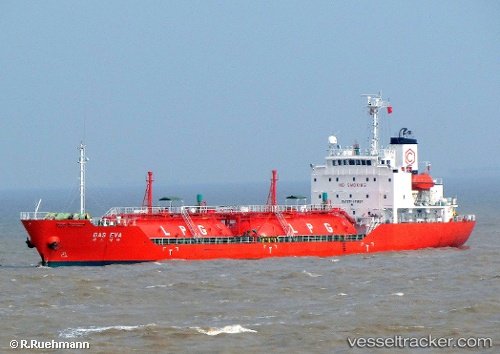
 GAS EVA
Current Status
Where is the vessel?
GAS EVA is currently in Near Kalbut Situbondo, based on AIS data received about 2d ago.
Latest AIS update:
Current position: 7.61192° S, 113.99437° E (Near Kalbut Situbondo)
Average speed (last 7 days): Loading…
Average speed (last 30 days): Loading…
Vessel profile: GAS EVA is a Lpg Tanker with dimensions m x m.
This page combines live AIS, route history, probable destination signals, nearby traffic, and port activity for practical vessel monitoring.
The current position of vessel GAS EVA is -7.61192 lat / 113.99437 lng. Updated: 2026-04-04 15:35:46 UTCNearest reference points:
- 30 nm NW of Sumenep
- Near Tanjung Perak
- Near Tanjong Perak
Currently sailing under the flag of Indonesia ![]()
Details:
Live Vessel GAS EVA Analytics (details, animations, etc.)
Recent AIS points (UTC):
2026-04-04 09:50:45 UTC · -7.61175, 113.99425 · SOG 0 kn · COG 63°2026-04-04 13:23:43 UTC · -7.61187, 113.99428 · SOG 0 kn · COG 61°
2026-04-04 13:23:43 UTC · -7.61187, 113.99428 · SOG 0 kn · COG 61°
2026-04-04 15:35:46 UTC · -7.61192, 113.99437 · SOG 0 kn · COG 63°