 vesseltracker.com
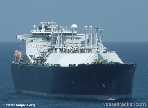
 SC SERENITY
Current Status
Where is the vessel?
SC SERENITY is currently in 75 nm N of Gagak Rimang Fso, based on AIS data received less than 1h ago.
Latest AIS update:
Current position: 5.47562° S, 111.96413° E (75 nm N of Gagak Rimang Fso)
Average speed (last 7 days): Loading…
Average speed (last 30 days): Loading…
Vessel profile: SC SERENITY is a Lng Tanker with dimensions m x m.
This page combines live AIS, route history, probable destination signals, nearby traffic, and port activity for practical vessel monitoring.
The current position of vessel SC SERENITY is -5.47562 lat / 111.96413 lng. Updated: 2026-04-12 18:04:47 UTCNearest reference points:
- 68 nm NW of Gagak Rimang Fso
- 60 nm NW of Camar Marine Terminal
- 49 nm NE of TANJUNG JATI
Currently sailing under the flag of Indonesia ![]()
Details:
Live Vessel SC SERENITY Analytics (details, animations, etc.)
Recent AIS points (UTC):
2026-04-12 12:02:18 UTC · -5.37482, 110.29051 · SOG 16.6 kn · COG 95°2026-04-12 13:37:12 UTC · -5.40144, 110.72951 · SOG 16.7 kn · COG 95°
2026-04-12 15:35:09 UTC · -5.43217, 111.27665 · SOG 16.6 kn · COG 94°
2026-04-12 18:04:47 UTC · -5.47562, 111.96413 · SOG 16.7 kn · COG -1°