 vesseltracker.com
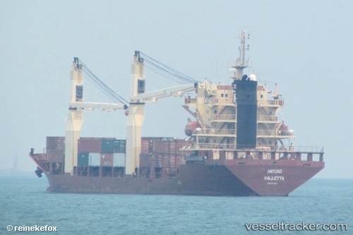
 MERATUS PARIAMAN
Current Status
Where is the vessel?
MERATUS PARIAMAN is currently in 57 nm E of RAHA, based on AIS data received less than 1h ago.
Latest AIS update:
Current position: 5.15851° S, 123.63436° E (57 nm E of RAHA)
Average speed (last 7 days): Loading…
Average speed (last 30 days): Loading…
Vessel profile: MERATUS PARIAMAN is a General Cargo Ship with dimensions 20m x 117m.
This page combines live AIS, route history, probable destination signals, nearby traffic, and port activity for practical vessel monitoring.
The current position of vessel MERATUS PARIAMAN is -5.15851 lat / 123.63436 lng. Updated: 2026-04-09 22:17:48 UTCNearest reference points:
- Near BAUBAU
- Near Labuan
- 11 nm NW of KENDARI
Currently sailing under the flag of Indonesia ![]()
MERATUS PARIAMAN built in 2007 year
Deadweight:
7699 tDetails:
Live Vessel MERATUS PARIAMAN Analytics (details, animations, etc.)
Recent AIS points (UTC):
2026-04-09 15:46:53 UTC · -4.88976, 124.49303 · SOG 8.2 kn · COG 297°2026-04-09 18:22:50 UTC · -4.99820, 124.14673 · SOG 8.4 kn · COG 297°
2026-04-09 19:39:41 UTC · -5.05171, 123.97271 · SOG 8.1 kn · COG 296°
2026-04-09 22:17:48 UTC · -5.15851, 123.63436 · SOG 7.6 kn · COG 304°