 vesseltracker.com
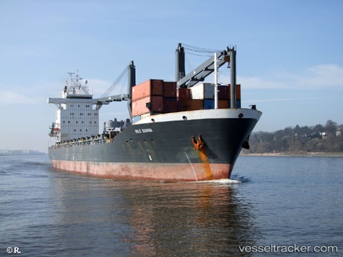
 MERATUS SORONG
Current Status
Where is the vessel?
MERATUS SORONG is currently in Near Kalianak Barat, based on AIS data received about 9h ago.
Latest AIS update:
Current position: 7.18963° S, 112.69021° E (Near Kalianak Barat)
Average speed (last 7 days): Loading…
Average speed (last 30 days): Loading…
Vessel profile: MERATUS SORONG is a General Cargo Ship with dimensions 23m x 153m.
This page combines live AIS, route history, probable destination signals, nearby traffic, and port activity for practical vessel monitoring.
The current position of vessel MERATUS SORONG is -7.18963 lat / 112.69021 lng. Updated: 2026-04-10 08:09:30 UTCNearest reference points:
- Near Kalianak Barat
- Near Gresik, Java
- Near Tanjung Perak
Currently sailing under the flag of Indonesia ![]()
MERATUS SORONG built in 1999 year
Deadweight:
20501 tDetails:
Live Vessel MERATUS SORONG Analytics (details, animations, etc.)
Recent AIS points (UTC):
2026-04-10 01:39:24 UTC · -7.18959, 112.69026 · SOG 0 kn · COG 305°2026-04-10 04:09:32 UTC · -7.18954, 112.69023 · SOG 0 kn · COG 305°
2026-04-10 05:54:30 UTC · -7.18962, 112.69017 · SOG 0 kn · COG 305°
2026-04-10 08:09:30 UTC · -7.18963, 112.69021 · SOG 0 kn · COG 305°