 vesseltracker.com
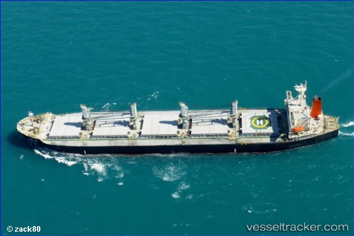
Hi 02
Current StatusWhere is the vessel?
Hi 02 is currently in 12 nm SE of Bunati, based on AIS data received less than 1h ago.
Latest AIS update:
Current position: 3.89122° S, 115.74776° E (12 nm SE of Bunati)
Average speed (last 7 days): Loading…
Average speed (last 30 days): Loading…
Vessel profile: Hi 02 is a Fishing Vessel with dimensions 32m x 189m.
This page combines live AIS, route history, probable destination signals, nearby traffic, and port activity for practical vessel monitoring.
The current position of vessel Hi 02 is -3.89122 lat / 115.74776 lng. Updated: 2026-04-20 12:21:46 UTCNearest reference points:
- 12 nm SE of Bunati
- Near Bunati
- Near TANJUNG PEMANCINGAN
Details:
Live Vessel Hi 02 Analytics (details, animations, etc.)
Recent AIS points (UTC):
2026-04-20 08:00:47 UTC · -3.88845, 115.74866 · SOG 0.1 kn · COG 169°2026-04-20 10:24:48 UTC · -3.88887, 115.74787 · SOG 0.2 kn · COG 139°
2026-04-20 10:42:45 UTC · -3.88978, 115.74738 · SOG 0.3 kn · COG 95°
2026-04-20 12:21:46 UTC · -3.89122, 115.74776 · SOG 0 kn · COG 47°