 vesseltracker.com
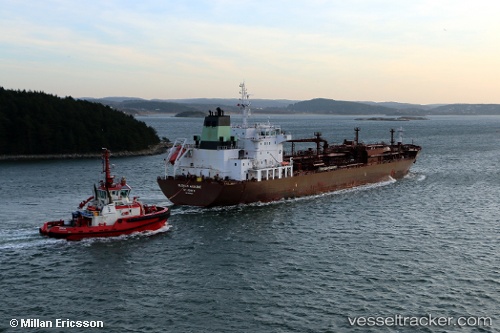
 GAS SOFIA
Current Status
Where is the vessel?
GAS SOFIA is currently in 13 nm E of Balikpapan, based on AIS data received less than 1h ago.
Latest AIS update:
Current position: 1.34102° S, 117.00845° E (13 nm E of Balikpapan)
Average speed (last 7 days): Loading…
Average speed (last 30 days): Loading…
Vessel profile: GAS SOFIA is a Lpg Tanker with dimensions m x m.
This page combines live AIS, route history, probable destination signals, nearby traffic, and port activity for practical vessel monitoring.
The current position of vessel GAS SOFIA is -1.34102 lat / 117.00845 lng. Updated: 2026-04-09 19:48:02 UTCNearest reference points:
- 11 nm SE of Balikpapan
- Near Balikpapan
- Near KARIANGAU
Currently sailing under the flag of Indonesia ![]()
Details:
Live Vessel GAS SOFIA Analytics (details, animations, etc.)
Recent AIS points (UTC):
2026-04-09 14:20:18 UTC · -1.34132, 117.00840 · SOG 0 kn · COG -1°2026-04-09 16:01:24 UTC · -1.34130, 117.00874 · SOG 0.3 kn · COG -1°
2026-04-09 17:23:32 UTC · -1.34105, 117.00783 · SOG 0 kn · COG -1°
2026-04-09 19:48:02 UTC · -1.34102, 117.00845 · SOG 0.2 kn · COG -1°