 vesseltracker.com
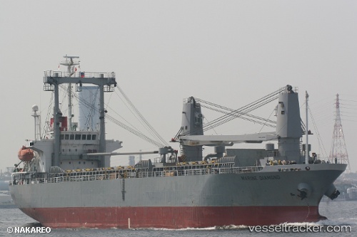
 GSM JAYA
Current Status
Where is the vessel?
GSM JAYA is currently in Near Tips Container Terminal, based on AIS data received about 3h ago.
Latest AIS update:
Current position: 13.03755° N, 100.83248° E (Near Tips Container Terminal)
Average speed (last 7 days): Loading…
Average speed (last 30 days): Loading…
Vessel profile: GSM JAYA is a General Cargo with dimensions m x m.
This page combines live AIS, route history, probable destination signals, nearby traffic, and port activity for practical vessel monitoring.
The current position of vessel GSM JAYA is 13.03755 lat / 100.83248 lng. Updated: 2026-04-16 15:56:59 UTCNearest reference points:
- Near Tips Container Terminal
- Near Sriracha
- Near SIRACHA
Currently sailing under the flag of Indonesia ![]()
Details:
Live Vessel GSM JAYA Analytics (details, animations, etc.)
Recent AIS points (UTC):
2026-04-16 09:38:58 UTC · 13.03743, 100.83278 · SOG 0.2 kn · COG 206°2026-04-16 12:20:58 UTC · 13.03745, 100.83215 · SOG 0 kn · COG 154°
2026-04-16 14:17:58 UTC · 13.03737, 100.83173 · SOG 0 kn · COG 135°
2026-04-16 15:56:59 UTC · 13.03755, 100.83248 · SOG 0.1 kn · COG 189°