 vesseltracker.com
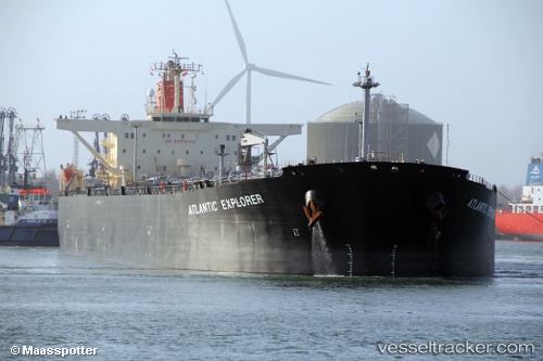
 ATLANTIC EXPLORER
Current Status
Where is the vessel?
ATLANTIC EXPLORER is currently in 38 nm N of Victoria, based on AIS data received about 3d ago.
Latest AIS update:
Current position: 5.89692° N, 115.15858° E (38 nm N of Victoria)
Average speed (last 7 days): Loading…
Average speed (last 30 days): Loading…
Vessel profile: ATLANTIC EXPLORER is a Crude Oil Tanker with dimensions m x m.
This page combines live AIS, route history, probable destination signals, nearby traffic, and port activity for practical vessel monitoring.
The current position of vessel ATLANTIC EXPLORER is 5.89692 lat / 115.15858 lng. Updated: 2026-04-08 19:49:39 UTCNearest reference points:
- 44 nm SW of Tembungo
- Near Kikeh
- Near Kota Kinabalu
Currently sailing under the flag of Malaysia ![]()
Details:
Live Vessel ATLANTIC EXPLORER Analytics (details, animations, etc.)
Recent AIS points (UTC):
2026-04-08 15:08:00 UTC · 5.68223, 115.81348 · SOG 1.5 kn · COG 329°2026-04-08 17:18:43 UTC · 5.92847, 115.65382 · SOG 11.7 kn · COG 261°
2026-04-08 19:30:29 UTC · 5.90075, 115.22143 · SOG 11.8 kn · COG 269°
2026-04-08 19:49:39 UTC · 5.89692, 115.15858 · SOG 11.8 kn · COG 269°