 vesseltracker.com
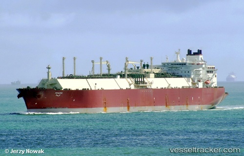
 Fraiha
Current Status
Where is the vessel?
Fraiha is currently in 46 nm S of Stilbaai, based on AIS data received about 11h ago.
Latest AIS update:
Current position: 35.08266° S, 21.75221° E (46 nm S of Stilbaai)
Average speed (last 7 days): Loading…
Average speed (last 30 days): Loading…
Vessel profile: Fraiha is a Lng Tanker with dimensions 315m x 315m.
This page combines live AIS, route history, probable destination signals, nearby traffic, and port activity for practical vessel monitoring.
The current position of vessel Fraiha is -35.08266 lat / 21.75221 lng. Updated: 2026-04-10 07:43:39 UTCNearest reference points:
- 37 nm S of Mosselbaai
- 16 nm S of Mosselbaai
- Near Mosselbaai
Currently sailing under the flag of Marshall Is ![]()
Fraiha built in 2008 year
Deadweight:
121914 tDetails:
Live Vessel Fraiha Analytics (details, animations, etc.)
Recent AIS points (UTC):
2026-04-10 02:17:08 UTC · -35.17004, 20.19008 · SOG 13.5 kn · COG 90°2026-04-10 04:04:29 UTC · -35.16745, 20.69808 · SOG 13.4 kn · COG 88°
2026-04-10 05:33:39 UTC · -35.14202, 21.11968 · SOG 13.7 kn · COG 74°
2026-04-10 07:43:39 UTC · -35.08266, 21.75221 · SOG 13.7 kn · COG 90°