 vesseltracker.com
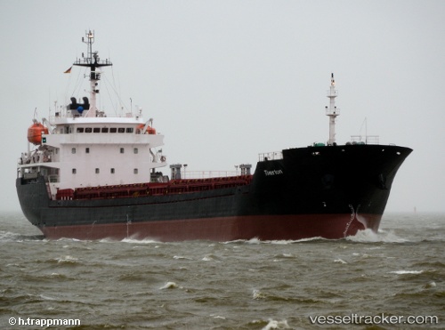
Vessel Altay IMO: 9349992, MMSI: 538004502 Bulk Carrier
UTC, 21.24856, 111.34670, course: 257, speed: 0
2026-03-01 06:01:02 UTC, 21.24856, 111.34670, course: 257, speed: 0
Live AIS position:
UTC. 17 nm SW of Shapa),
updated 2026-03-01 06:01:02 UTC.
Find the position of the vessel Altay on the map. The latter are known coordinates and path.
marine traffic ship tracker show on live map
The current position of vessel Altay is 21.24856 lat / 111.34670 lng. Updated: 2026-03-01 06:01:02 UTCCurrently sailing under the flag of Marshall Is
Altay built in 2006 year
Deadweight:
7448 tDetails:
Last coordinates of the vessel:
UTC, 21.24856, 111.34670, course: 257, speed: 0UTC, 21.24856, 111.34670, course: 257, speed: 0
2026-03-01 06:01:02 UTC, 21.24856, 111.34670, course: 257, speed: 0