 vesseltracker.com
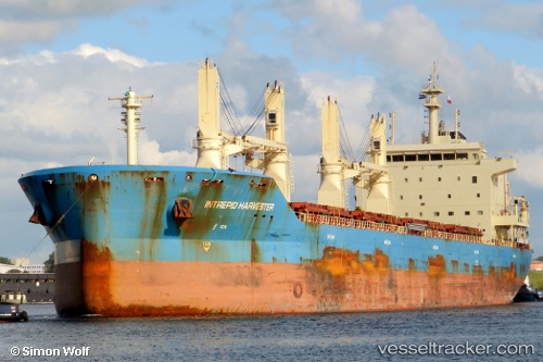
Vessel Mother M IMO: 9626613, MMSI: 538004721 Bulk Carrier
UTC, 68.99166, 33.04833, course: -1, speed: 0
UTC, 68.99166, 33.04833, course: -1, speed: 0
2026-02-27 11:27:33 UTC, 68.99166, 33.04833, course: -1, speed: 0
Live AIS position:
UTC. Near Murmansk),
updated 2026-02-27 11:27:33 UTC.
Find the position of the vessel Mother M on the map. The latter are known coordinates and path.
marine traffic ship tracker show on live map
The current position of vessel Mother M is 68.99166 lat / 33.04833 lng. Updated: 2026-02-27 11:27:33 UTCDetails:
Last coordinates of the vessel:
UTC, 69.07280, 32.18741, course: 220, speed: 9.6UTC, 68.99166, 33.04833, course: -1, speed: 0
UTC, 68.99166, 33.04833, course: -1, speed: 0
2026-02-27 11:27:33 UTC, 68.99166, 33.04833, course: -1, speed: 0