 vesseltracker.com
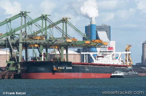
Saham Max
Current StatusWhere is the vessel?
Saham Max is currently in 34 nm SE of ST FRANCIS, based on AIS data received about 1h ago.
Latest AIS update:
Current position: 34.58246° S, 25.33172° E (34 nm SE of ST FRANCIS)
Average speed (last 7 days): Loading…
Average speed (last 30 days): Loading…
Vessel profile: Saham Max is a Ore Carrier with dimensions 65m x 360m.
This page combines live AIS, route history, probable destination signals, nearby traffic, and port activity for practical vessel monitoring.
The current position of vessel Saham Max is -34.58246 lat / 25.33172 lng. Updated: 2026-04-07 23:26:14 UTCNearest reference points:
- 21 nm S of Mount Pleasant
- Near Deal Party
Details:
Live Vessel Saham Max Analytics (details, animations, etc.)
Recent AIS points (UTC):
2026-04-07 17:41:55 UTC · -34.81759, 23.89171 · SOG 12.8 kn · COG 79°2026-04-07 19:30:35 UTC · -34.75261, 24.35907 · SOG 12.5 kn · COG 81°
2026-04-07 21:58:45 UTC · -34.65170, 24.97181 · SOG 12.6 kn · COG 75°
2026-04-07 23:26:14 UTC · -34.58246, 25.33172 · SOG 11.6 kn · COG 75°