 vesseltracker.com
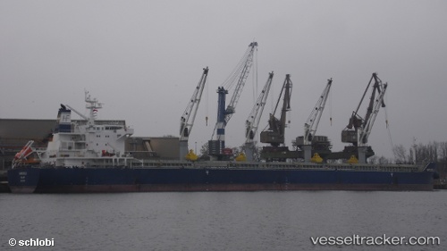
Marigoula
Current StatusWhere is the vessel?
Marigoula is currently in Near Port Said, based on AIS data received less than 1h ago.
Latest AIS update:
Current position: 31.42532° N, 32.27642° E (Near Port Said)
Average speed (last 7 days): Loading…
Average speed (last 30 days): Loading…
Vessel profile: Marigoula is a Bulk Carrier with dimensions 32m x 190m.
This page combines live AIS, route history, probable destination signals, nearby traffic, and port activity for practical vessel monitoring.
The current position of vessel Marigoula is 31.42532 lat / 32.27642 lng. Updated: 2026-04-22 00:06:38 UTCNearest reference points:
- Near Port Said
- 14 nm N of Port Said
- 15 nm N of Port Said
Details:
Live Vessel Marigoula Analytics (details, animations, etc.)
Recent AIS points (UTC):
2026-04-21 19:36:21 UTC · 31.89175, 31.80473 · SOG 11.2 kn · COG 142°2026-04-21 21:37:13 UTC · 31.62008, 32.10631 · SOG 10.8 kn · COG -1°
2026-04-21 22:51:10 UTC · 31.47689, 32.27293 · SOG 6.4 kn · COG 180°
2026-04-22 00:06:38 UTC · 31.42532, 32.27642 · SOG 0.5 kn · COG 250°