 vesseltracker.com
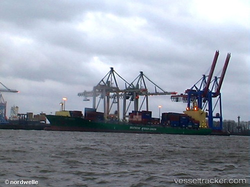
 Jeju Island
Current Status
Where is the vessel?
Jeju Island is currently in 59 nm S of CAM PHA, based on AIS data received about 2h ago.
Latest AIS update:
Current position: 20.04015° N, 107.60425° E (59 nm S of CAM PHA)
Average speed (last 7 days): Loading…
Average speed (last 30 days): Loading…
Vessel profile: Jeju Island is a Container Ship with dimensions 222m x 30m.
This page combines live AIS, route history, probable destination signals, nearby traffic, and port activity for practical vessel monitoring.
The current position of vessel Jeju Island is 20.04015 lat / 107.60425 lng. Updated: 2026-03-27 03:22:11 UTCNearest reference points:
- 35 nm S of Campha
- 24 nm SE of Campha
- 18 nm SE of Ha Long
Currently sailing under the flag of Marshall Is ![]()
Jeju Island built in 2006 year
Deadweight:
37882 tDetails:
Live Vessel Jeju Island Analytics (details, animations, etc.)
Recent AIS points (UTC):
2026-03-26 21:30:33 UTC · 19.54421, 107.90797 · SOG 6.8 kn · COG 275°2026-03-26 23:40:52 UTC · 19.74471, 107.84166 · SOG 7 kn · COG 276°
2026-03-27 01:53:19 UTC · 19.84954, 107.54754 · SOG 9.8 kn · COG 27°
2026-03-27 03:22:11 UTC · 20.04015, 107.60425 · SOG 10 kn · COG 312°