 vesseltracker.com
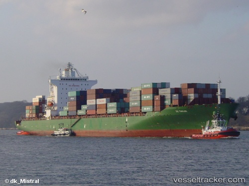
Rotterdam Bridge
Current StatusWhere is the vessel?
Rotterdam Bridge is currently in 17 nm NW of Burrup, based on AIS data received about 158d ago.
Latest AIS update:
Current position: 20.35669° S, 116.61019° E (17 nm NW of Burrup)
Average speed (last 7 days): Loading…
Average speed (last 30 days): Loading…
Vessel profile: Rotterdam Bridge is a Container Ship with dimensions 32m x 260m.
This page combines live AIS, route history, probable destination signals, nearby traffic, and port activity for practical vessel monitoring.
The current position of vessel Rotterdam Bridge is -20.35669 lat / 116.61019 lng. Updated: 2025-11-13 01:47:14 UTCNearest reference points:
- 11 nm E of Port Walcot
- 116 nm NE of Mutineer
Details:
Live Vessel Rotterdam Bridge Analytics (details, animations, etc.)
Recent AIS points (UTC):
2025-11-13 01:47:14 UTC · -20.35669, 116.61019 · SOG 0 kn · COG 249°